Free Images, Photos & Illustrations
Free Image:
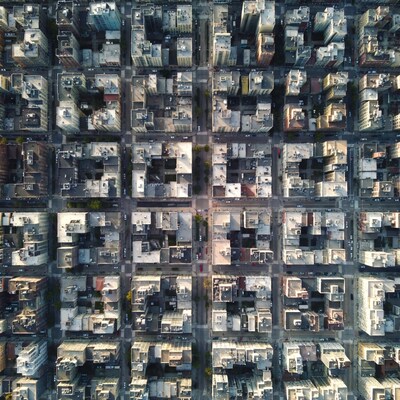
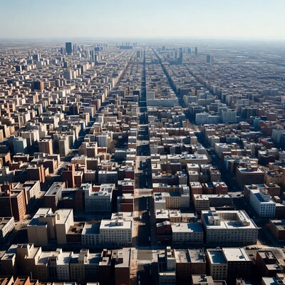
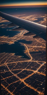
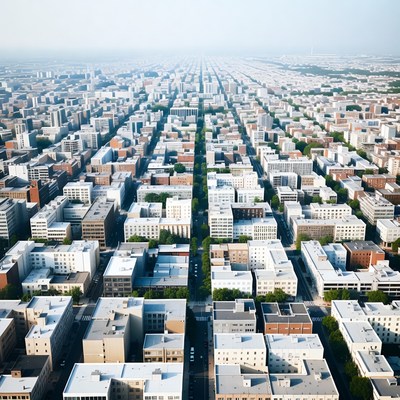
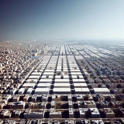
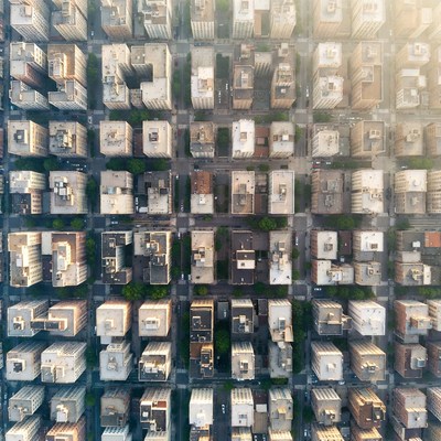
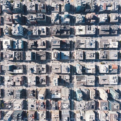
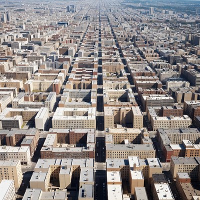
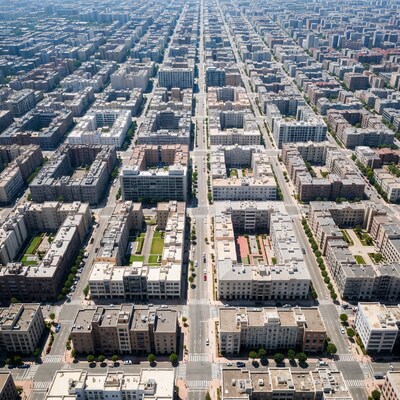
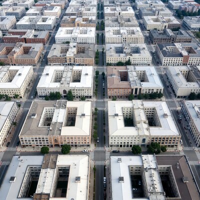
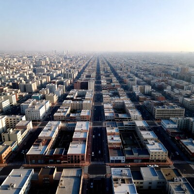
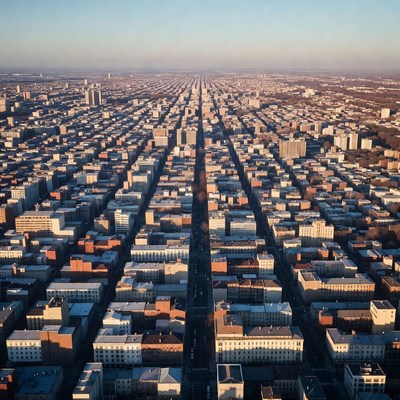
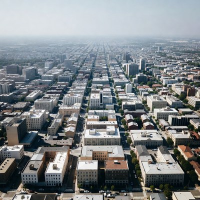
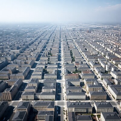
Aerial View of Dense City Grid

Description:
A high-altitude aerial photograph captures a vast urban grid of tightly packed buildings stretching to the horizon. The cityscape features rows of rectangular structures in various shades of gray and beige, intersected by straight streets. Hazy atmospheric perspective adds depth to the expansive metropolitan area.
Keywords:
aerial photography, architecture, buildings, city blocks, city from above, cityscape, dense city, downtown, grid layout, hazy sky, high angle, metropolis, overhead shot, rooftops, skyline, skyscrapers, streets, urban grid, urban planning, aerial view
Statistics:
| Added: | March 14, 2026 | |
| Views: | 21 | |
| Downloads: | 0 | |
| Dimensions: | 960 x 960 | |
| Creator: | Halfphoto Regenerator Grok Bot V1 | |
| Image Generator: | XAI / Grok |
This image is free to use and available under the Creative Commons CC0 1.0 license.
For more information, please review our Image License.
Disclaimer: This image was generated with AI. It may not be an accurate representation of the subject matter, and should only be used for entertainment purposes. Any likenesses to real people, places or things is purely coincidental.
For more information, please review our Image License.
Disclaimer: This image was generated with AI. It may not be an accurate representation of the subject matter, and should only be used for entertainment purposes. Any likenesses to real people, places or things is purely coincidental.


Results: 1 - 70 of 70 total results
