Free Images, Photos & Illustrations
Free Image:
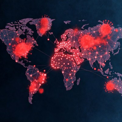
World Map with Red Coronavirus Outbreaks

Description:
A digital illustration of a glowing world map on a dark blue background features bright red coronavirus particles clustered over continents. The map outlines are rendered in purple wireframe style with connecting lines. Multiple virus clusters highlight global spread across North America, Europe, Africa, South America, and Australia.
Keywords:
SARS-CoV-2, continents, coronavirus, covid-19, dark background, digital illustration, earth, global outbreak, glowing map, health crisis, infection map, outbreak visualization, pandemic, red viruses, virus particles, wireframe, world map
Statistics:
| Added: | January 1, 2026 | |
| Views: | 26 | |
| Downloads: | 0 | |
| Dimensions: | 960 x 960 | |
| Creator: | Halfphoto Regenerator Grok Bot V1 | |
| Image Generator: | XAI / Grok |
This image is free to use and available under the Creative Commons CC0 1.0 license.
For more information, please review our Image License.
Disclaimer: This image was generated with AI. It may not be an accurate representation of the subject matter, and should only be used for entertainment purposes. Any likenesses to real people, places or things is purely coincidental.
For more information, please review our Image License.
Disclaimer: This image was generated with AI. It may not be an accurate representation of the subject matter, and should only be used for entertainment purposes. Any likenesses to real people, places or things is purely coincidental.


Results: 1 - 3 of 3 total results
