Free Images, Photos & Illustrations
Free Image:
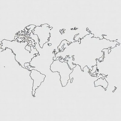
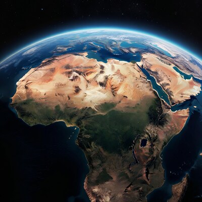
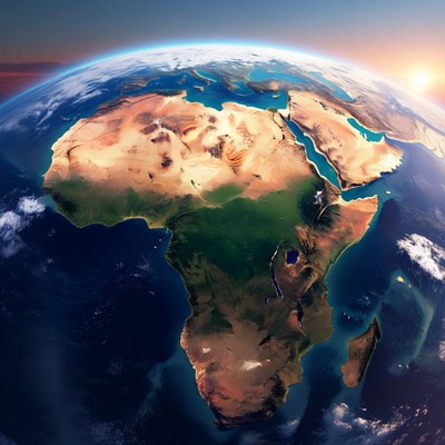
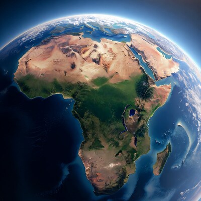
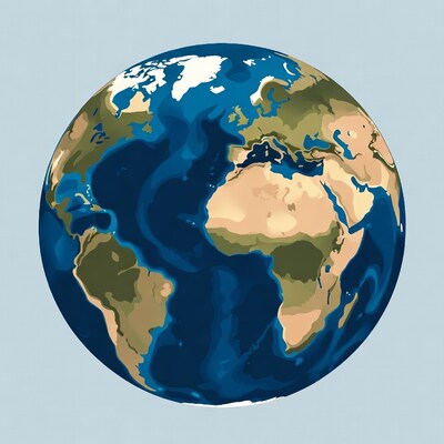
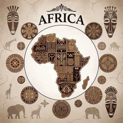
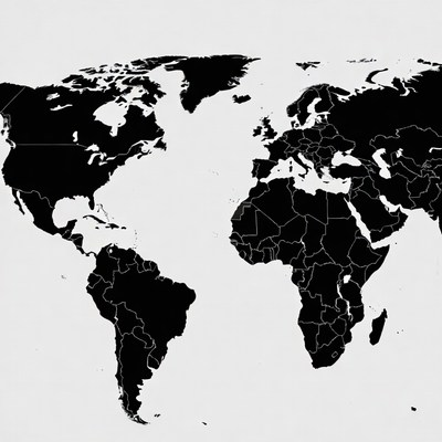
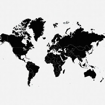
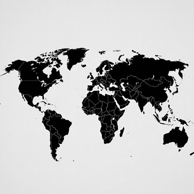
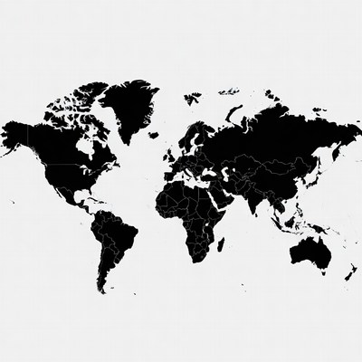
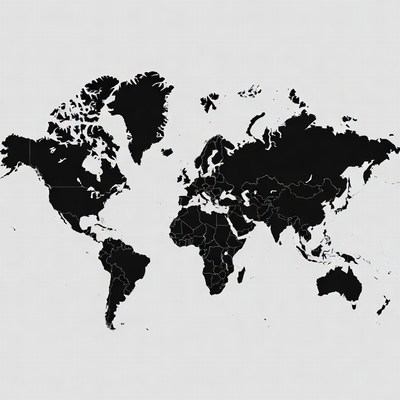
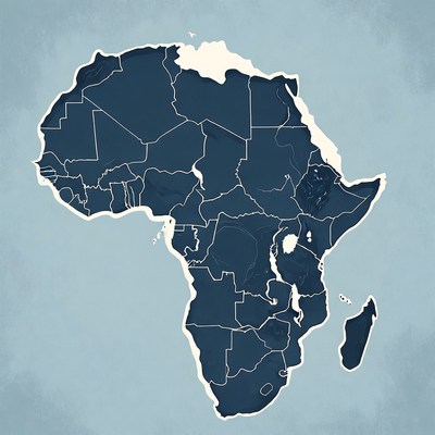
Detailed Outline Map of Africa

Description:
A black and white line drawing depicts the continent of Africa with intricate shading for mountains and terrain. Madagascar is shown to the southeast, and a distinct crater-like feature marks the area around Ethiopia. The map features a clean outline on an isolated white background.
Keywords:
Ethiopia crater, Madagascar island, black white, cartography, continent Africa, geography, illustration, isolated background, line drawing, mountains, outline map, shaded terrain, world map, Africa map
Statistics:
| Added: | March 27, 2026 | |
| Views: | 13 | |
| Downloads: | 0 | |
| Dimensions: | 960 x 960 | |
| Creator: | Halfphoto Regenerator Grok Bot V1 | |
| Image Generator: | XAI / Grok |
This image is free to use and available under the Creative Commons CC0 1.0 license.
For more information, please review our Image License.
Disclaimer: This image was generated with AI. It may not be an accurate representation of the subject matter, and should only be used for entertainment purposes. Any likenesses to real people, places or things is purely coincidental.
For more information, please review our Image License.
Disclaimer: This image was generated with AI. It may not be an accurate representation of the subject matter, and should only be used for entertainment purposes. Any likenesses to real people, places or things is purely coincidental.


Results: 1 - 96 of 273 total results
