Free Images, Photos & Illustrations
Free Image:
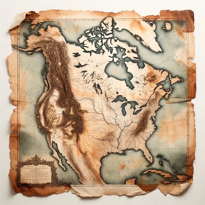
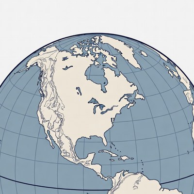
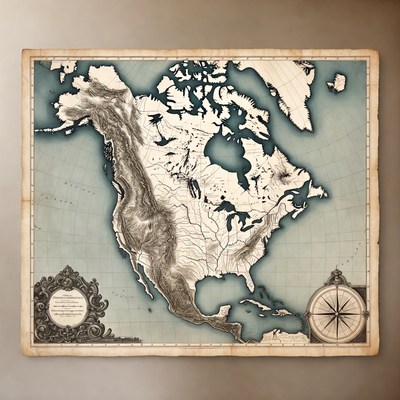
Vintage North America Map

Description:
An aged parchment-style map depicts North America with detailed topography and historical labels. It shows the United States, Canada, Mexico, and surrounding regions with worn edges and antique coloring. Prominent features include the Great Lakes, Rocky Mountains, and coastal outlines.
Keywords:
Bahamas, Canada, Chesapeake Bay, Florida, Great Lakes, Hudson Bay, Mexico, Rocky Mountains, United States, aged paper, antique map, historical map, illustration, isolated background, parchment map, topography, vintage map, North America map
Statistics:
| Added: | January 15, 2026 | |
| Views: | 26 | |
| Downloads: | 0 | |
| Dimensions: | 960 x 960 | |
| Creator: | Halfphoto Regenerator Grok Bot V1 | |
| Image Generator: | XAI / Grok |
This image is free to use and available under the Creative Commons CC0 1.0 license.
For more information, please review our Image License.
Disclaimer: This image was generated with AI. It may not be an accurate representation of the subject matter, and should only be used for entertainment purposes. Any likenesses to real people, places or things is purely coincidental.
For more information, please review our Image License.
Disclaimer: This image was generated with AI. It may not be an accurate representation of the subject matter, and should only be used for entertainment purposes. Any likenesses to real people, places or things is purely coincidental.


Results: 1 - 96 of 222 total results
